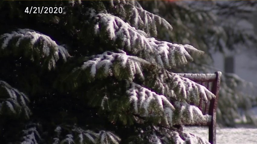
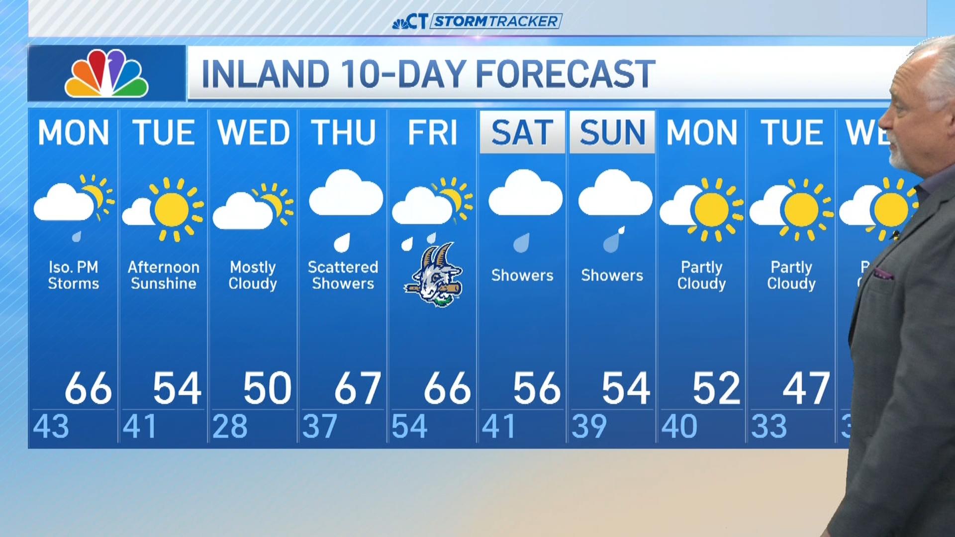
The remnants of Hurricane Zeta passed south of Connecticut Thursday evening as cold Canadian air oozes south. This combination will result in a cold rain transitioning to snow by early Friday morning.
Rain will transition to snow between 5 a.m. and 9 a.m. from the Northwest Hills to the shoreline. The higher elevations of northern Connecticut could see 2 to 4 inches of snow when it comes to an end. In the Hartford area and most of inland Connecticut 1"-2" of snow is possible. Little if any accumulation is expected along the shoreline.
Here's a look at our latest snowfall accumulation map.
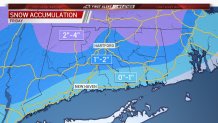
The Friday morning commute could have some slick spots especially in the higher elevations.
HOUR BY HOUR TIMING
Thursday Evening
Rain will continue as temperatures fall into the 30s and 40s. Showers will become more scattered as we head past 8 p.m.
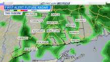
Thursday Night into Friday Morning
As the system continues to push to our southeast a shot of cold air will arrive from Canada which will transition rain showers over to snow showers during the early morning hours on Friday.
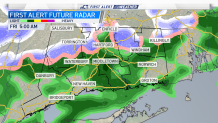
Scattered snow showers will continue into Friday morning.
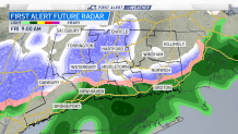
Friday Morning/Afternoon
Weather
Some areas, especially in the hill towns, could be slick during the morning commute. The heaviest snow is expected from 7 to 10 a.m.
Snow and rain showers will gradually come to an end by the lunchtime hour with cold air continuing to filter into the region. Look for highs on Friday only in the upper 30s with overnight lows in the twenties statewide.
Get your full First Alert Weather forecast here anytime
