


Thursday Weather Blog
It's raining!!
Finally we are seeing unsettled, wet, chilly, and windy weather move into the state. A wave of rain this morning....showery periods this afternoon and hopefully some steadier rain can develop again by this evening. It is not out of the question that later tonight, some wet snow can mix in through western Connecticut.


Get top local stories in Connecticut delivered to you every morning. Sign up for NBC Connecticut's News Headlines newsletter.
The key to the additional, and needed rainfall is the timing, strength, and development of a secondary low pressure center near Long Island. As this system develops, the winds will increase and some minor coastal flooding is possible.

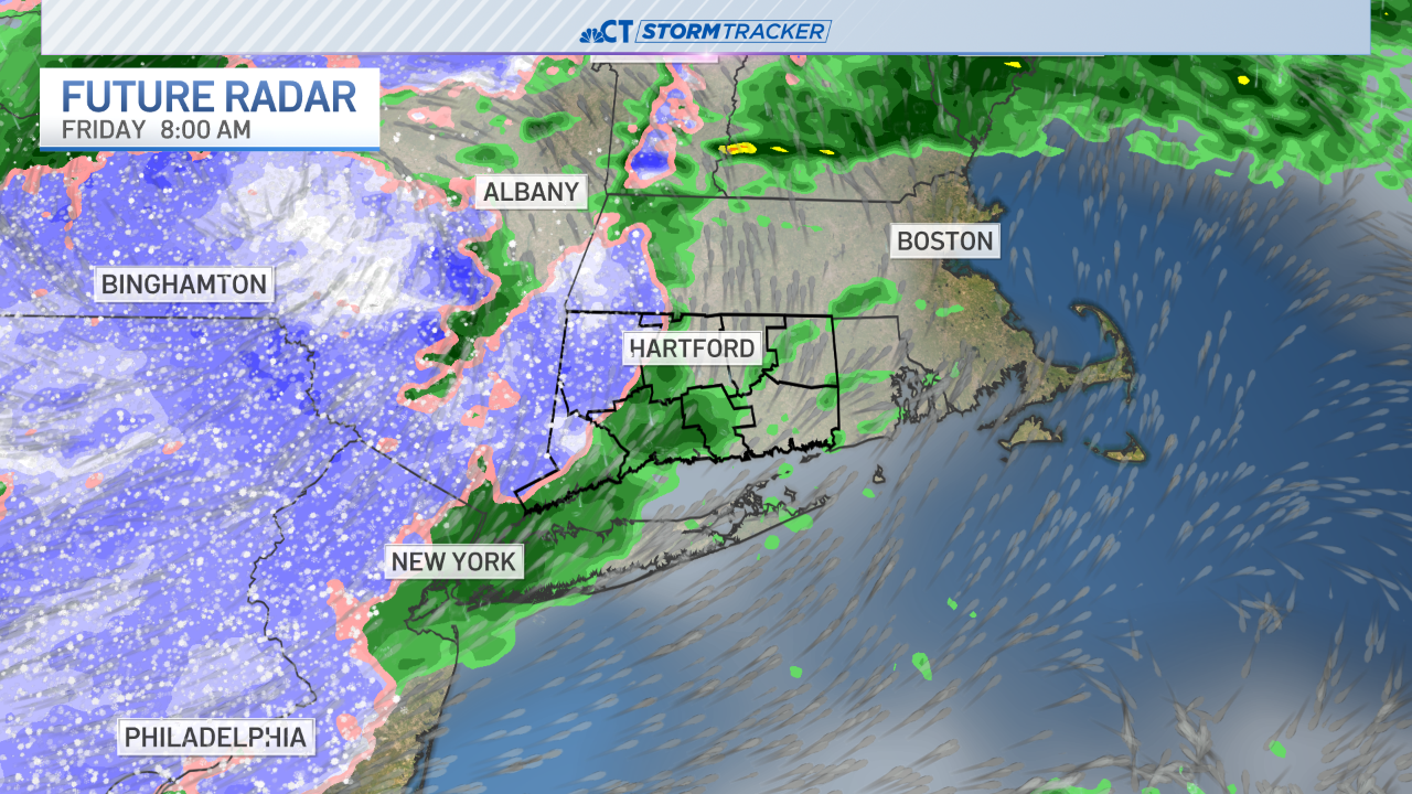
The temperature will be chilly, but not terribly cold on Thursday. Expect the temperature to stay in the 40's for much of the day, perhaps topping in the low 50's. Speaking of temperature, it will get cold enough Tonight and Friday for some of the rain to change to snow showers. The best chance of that happening is in western Connecticut with an inch or two of snow accumulation in the highest elevations of the state.


Speaking of winter weather, the bulls eye for snow will be New York state, Pennsylvania, West Virginia, and western Maryland. The Appalachian Mountains are under winter weather alerts for up to a foot of snow! Meanwhile, it will be windy through the weekend, and it will turn drier through Sunday locally.

